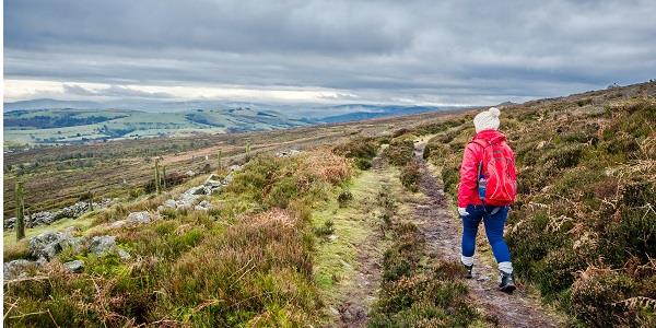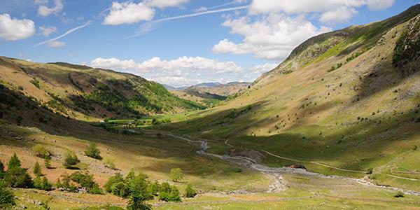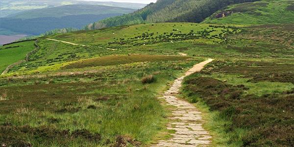
It (almost) goes without saying that the North York Moors offer some of the most fabulous walking country to be found anywhere in the United Kingdom.
For most, though, a walk of five or 10 miles, ideally starting and ending at a comfy, cosy pub, is probably enough. But for the masochists among you, or the really committed (or those lunatics who deserve to be), the Moors can offer up a real challenge: the Lyke Wake Walk – a 40-mile tramp across terrain that ranges from the benign to the borderline-hostile. And the challenge is that the walk must be completed within 24 hours.
The Lyke Wake Walk was ‘conceived’, if you like (except it wasn’t – the route has always been there), in 1955 by Bill Cowley, a Yorkshire farmer, who not only stipulated the time limit but also insisted that a ‘solemn silence should always prevail’ during the trek: a rule broken only by incantations of the Lyke Wake Dirge, which runs thus:
“This yah neet, this yah neet
Ivvery neet an’all
Fire an’ fleet and cannle leet
An’ Christ take up thy saul…”
a sombre lament, dating from the 16th Century or earlier, and sung over the dead as part of local, funereal, custom.
The received wisdom is that this cheerful ditty has its roots in the belief that coffins were carried across the Moors in days of yore. But the fact is, they weren’t; the only plausible reason as to why the Lyke Wake Dirge still forms an intermittent soundtrack to the bipedal ordeal of the Lyke Wake Walk is that, according to serial Lyke Wakers (and yes, there are many), towards the end of it most of the participants feel like death.
The walk extends from Osmotherley, to the north-west of Bell End Farm, to Ravenscar, to the north-east – via, or at least close to, Wheeldale Beck (below):
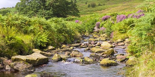
Wheeldale Beck
and the RAF Fylingdales nuclear missile defence station:
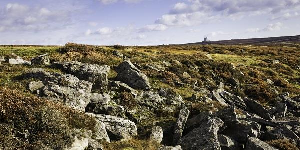
Fylingdales – in the far distance, the RAF nuclear early-warning station
The rules allow you to walk in either direction, but most Lyke Wakers start in Osmotherley (below) and head for the coast.

Osmotherley village
The route takes you across the highest and widest part of the North York Moors National Park – surrounded by heather and crossing no more than two or three roads. (My imprecision derives from the fact that there is no, definitive, set path – though parts of the Lyke Wake Walk coincide with the Cleveland Way. A previous hiker has helpfully screwed small black-painted coffin shapes to the signposts, just to let you know you’re still on the road to perdition.) Cowley reckoned that one could complete the entire journey without encountering another walker.

Journey's end (or, occasionally, beginning): Ravenscar
Which may well be true to this day. But lest all of the above totally put you off, a reminder: the North York Moors offer some of the finest walking country to be had in all of Great Britain – and, done in company, challenges like this fall into the ‘never-felt-more-alive’ category.
But with a bit of forward planning, Rosedale holidaymakers can become Lyke Wakers (or, in the vernacular, ‘Dirgers’) the easy way. Okay, maybe not easy; but easier.
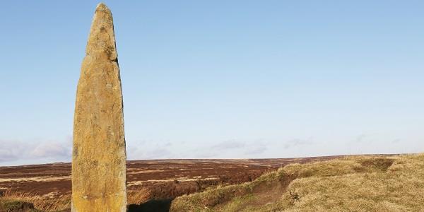
Blakey Ridge
To walk the whole distance, in one go, would take about 15 hours, But you have 24 hours to play with. So: why not get a lift from Bell End Farm to Osmotherley, walk roughly half-distance to the Lion Inn at Blakey Ridge (above), get an understanding companion to pick you up and bring you ‘home’ for a rest and a change of socks, and then tackle the second leg? Road numbers and distances are below; but it looks eminently doable.
At the end, if you’re lucky, on completion you'll receive a coffin-shaped sew-on patch, and an official New Lyke Wake Club card, reading: “Condolences on your Crossing”.
And you can call yourself a Dirger.
Rosedale lies 3½ miles to the south-east of the Lion Inn, Blakey Ridge, via Hanging Stone Lane, New Road and Bell End Green. To reach Osmotherley, take Hanging Stone Lane to New Road, then Knott Road, then the A172 – a journey of about 28 miles. To get to Ravenscar, take Hanging Stone Lane to New Road, continue to Heygate Bank, then take Smith’s Lane to Egton Cliff, and then follow the A171, then the B1416 and then rejoin the A171. The total distance is just shy of 30 miles.
