Portugal’s Algarve is famous for many things. Just three examples: golf; a benign year-round climate; a fabulous coastline. And holidaymakers at Rocha Brava have many of the area’s glorious beaches (and golf courses) on their doorstep.
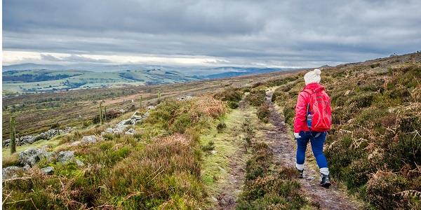
But it’s not all about sun, sea, sand and hitting the perfect drive. Walkers find the Algarve much to their liking too – and as well as the region’s many coastal paths, there’s an opportunity to discover the Algarvian hinterland, by walking just part of the Via Algarviana.
The Via Algarviana is a Great Pedestrian Route (GR13) which connects Alcoutim, near the Spanish border in the north-east of the region, to Cabo de São Vicente in the south-west. Its total length is some 300kms, much of it traversing the Serra do Caldeirão mountains that border the north of the Algarve.
The route is divided into sectors, ranging in length from just over 14kms to around 30kms. The sector that should interest Rocha Brava holidaymakers is Sector 9, starting in São Bartolomeu de Messines, about 50kms north-east of the site, and finishing at Silves, a beautiful city just 15kms to the north of Rocha Brava.
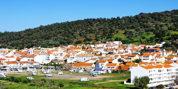
Starting point: São Bartolomeu de Messines
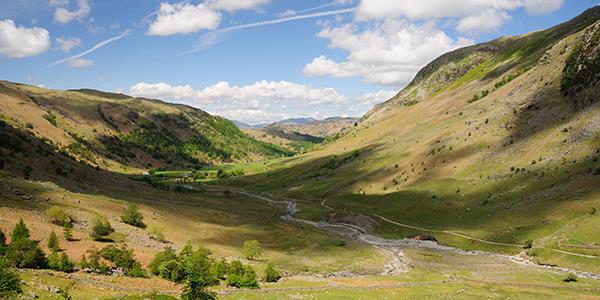
The 27½km, eight-hour walk, best tackled between September and May when the weather is not so hot, starts by the main church (Igreja Matriz), in the centre of São Bartolomeu. The route follows the street where the birthplace of João de Deus Ramos, one of Portugal’s greatest poets, is to be found, and then traverses the village to the railway station. After crossing the train track at Bairro do Furadouro, the path passes to the south of a cork-oak forest; but once you get to the small hamlet of Barradas the terrain changes significantly and the Via Algarviana follows the course of the Rio Arade, one of the Algarve’s major rivers. The valley, the river and its tributaries, and the surrounding hills, all add up to a beautiful landscape.
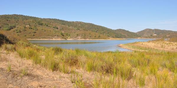
The majestic Rio Arade
As you approach the Funcho Barragem (dam, in English), stop for a breather at the picnic place. Stroll around the reservoir if you like; or go ‘off-piste’ for a brief foray into the nearby hills, where you’ll likely spy some interesting archaeological sites. But you may want to conserve your energy, because after crossing the dam the trail’s upward gradient increases significantly.
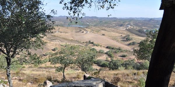
The Via Algarviana continues along the Rio Arade for a time, before turning right (west) a little further along, deep into the hilly countryside. You’ll ascend into the hills of Fontaínhas; and then, turning south, you’ll pass the Monte do Barranco da Casa; walk through the Barranco das Águas Belas (‘the Ravine of the Beautiful Waters’), a lovely valley covered with eucalyptus trees and dotted with small lakes (and the occasional manmade orchard), pass the hill called Cavacas; and back towards the Rio Arade – to Enxerim, on the outskirts of Silves.
Journey’s end.
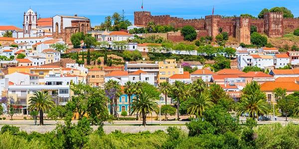
The end of the road: Silves, with its red fortress
An attractive town on the banks of the Rio Arade, Silves is worth a visit all of its own: especially for the red castle – one of the best-preserved in the Algarve – that dominates the town. But that, perhaps, is for another time.
